Researchers collected water and sediment samples along the coast of Norway to create a comprehensive, high-resolution picture of marine biodiversity and to better understand why it’s declining.
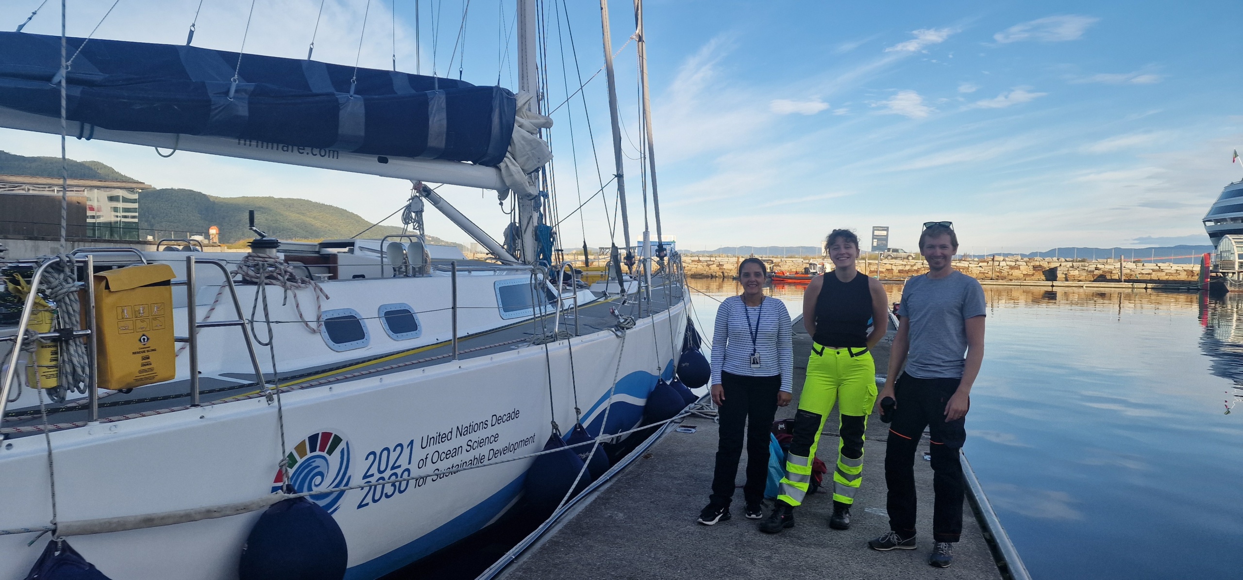
After collecting samples from 36 stations and visiting over 20 cities, the researchers ended their journey in Trondheim, collecting final samples from SINTEF’s Munkholmen buoy, a cutting-edge floating laboratory. But who are they?
The researchers are from the EU-project DiverSea and the community-driven initiative Sailing4Science (S4S). They’ve spent the summer together challenging the traditional approach to science by blending a “top-down” vision, led by senior academics, with a “bottom-up” approach, championed by students and the community.
The goal? To create a comprehensive, high-resolution picture of marine biodiversity, especially for phytoplankton, and to better understand why it’s declining.
Along the way, the DiverSea-S4S crew engaged with local communities, sharing the importance of ocean biodiversity monitoring and inspiring a deeper appreciation for our marine ecosystems.
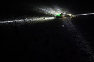
Well set in Trondheim, the crew visited the Munkholmen buoy, conducting simultaneous tests with CTD sensors (for conductivity, temperature, and depth) and imaging cameras. The buoy is part of the OceanLab Observatory, a national research infrastructure established in Trondheim by SINTEF and NTNU and fully operational from 2023. Experts from SINTEF visited the Hrimfare—the very vessel that served as DiverSea’s research hub.
This exchange of knowledge between the buoy and the boat exemplified the project’s collaborative character and researchers were able to meet and form new partnerships.
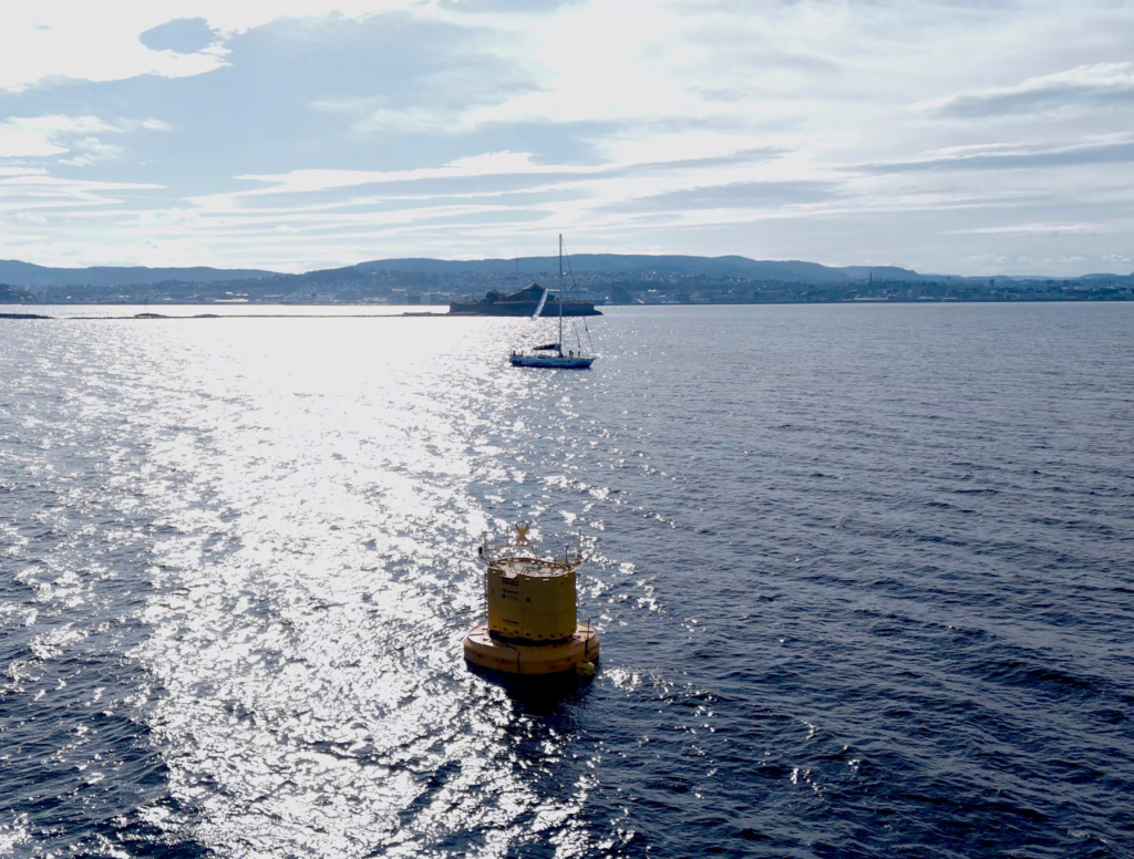
At the buoy, the DiverSea-S4S teams collected comprehensive data on the physical properties of the water while simultaneously capturing visuals of marine life and particles. SINTEF’s advanced infrastructure and expertise were vital, enabling these detailed, real-time measurements.
The Munkholmen buoy proved to be a critical component for this groundbreaking research. This direct interaction between DiverSea, S4S, and SINTEF’s facilities highlights how crucial partnerships are to advancing marine science and protecting our oceans.
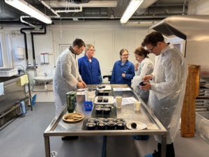
The DiverSea project is coordinated by Norwegian University of Science and Technology (NTNU), and scientists are combining conventional identification methods, like microscopes, with advanced high-throughput imaging tools and sophisticated molecular techniques using environmental DNA (eDNA) and RNA (eRNA).
This is all supplemented by satellite imagery from NTNU’s own HYPSO satellite. This crucial data is what policymakers and the public need to inform conservation efforts.

Comments
the DiverSea-S4S teams collected comprehensive data on the physical properties of the water while simultaneously capturing visuals of marine life and particles. geometry dash
This collaboration between students, communities, and experts is inspiring. It shows how combining diverse approaches and using advanced tech can create a richer understanding of our oceans and the urgent need to protect them.